FAIRshare Dataset
"NMA agro" mobile app
National Paying Agency under the Ministry of agriculture of the Republic of Ltihuania2018
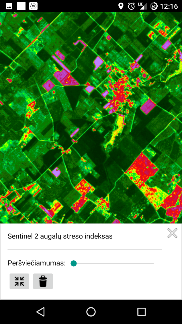
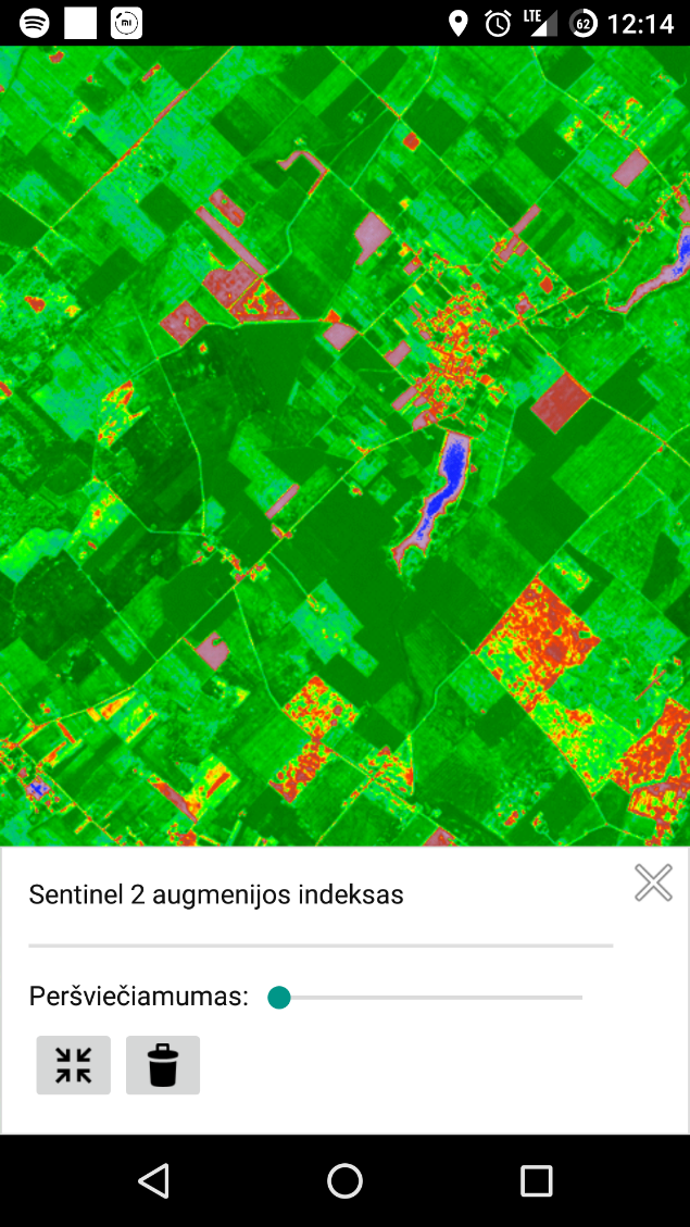
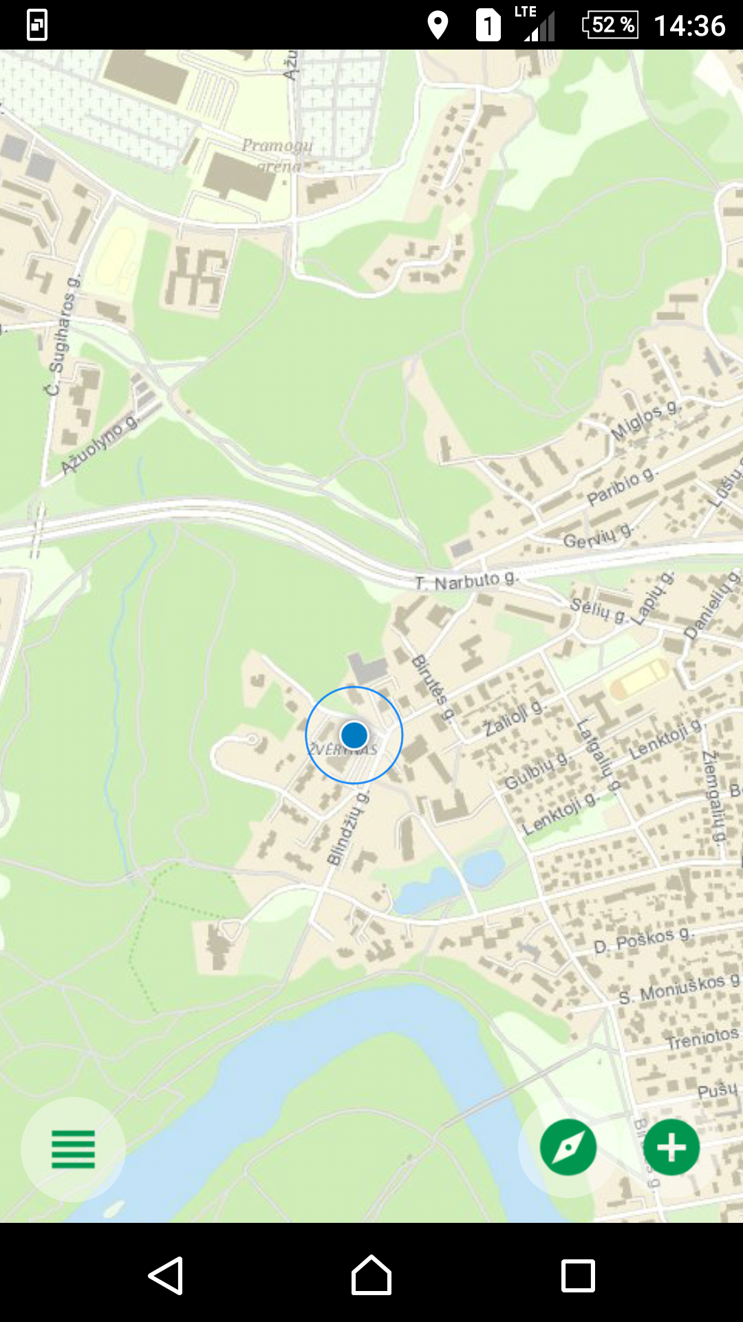
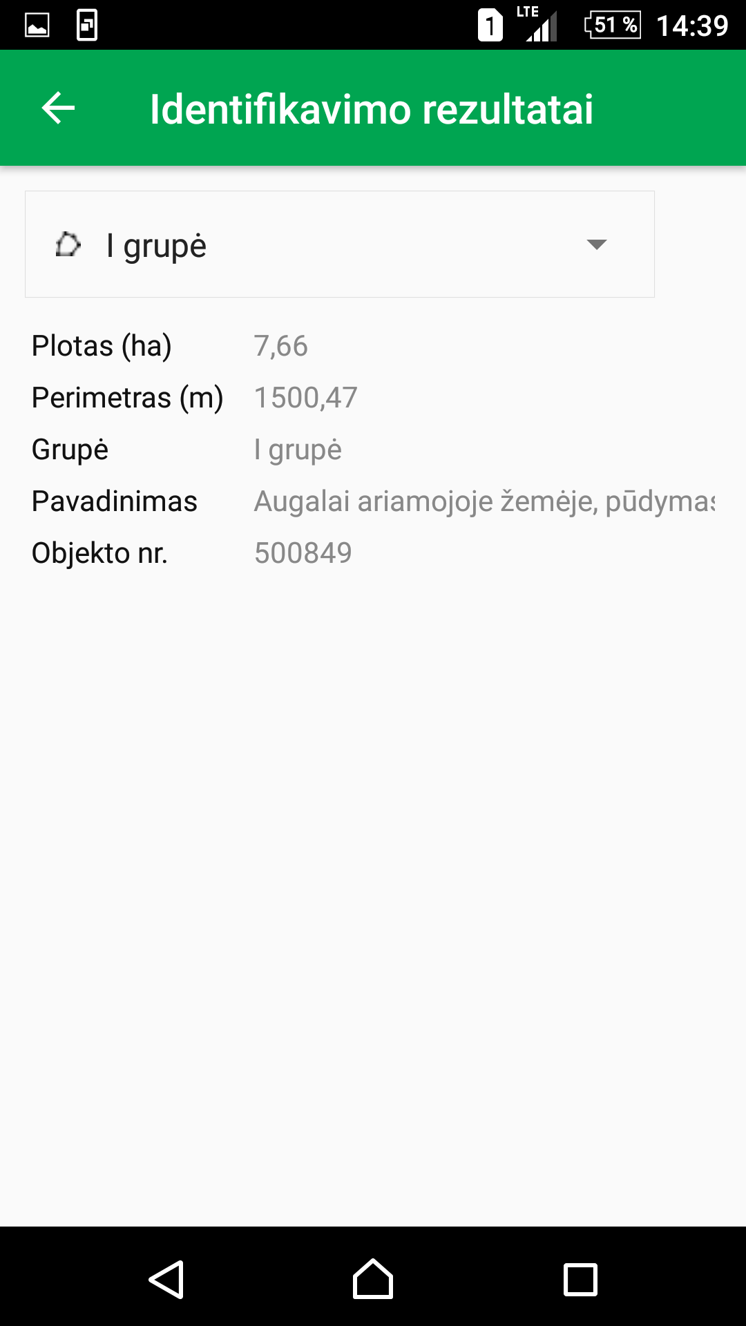
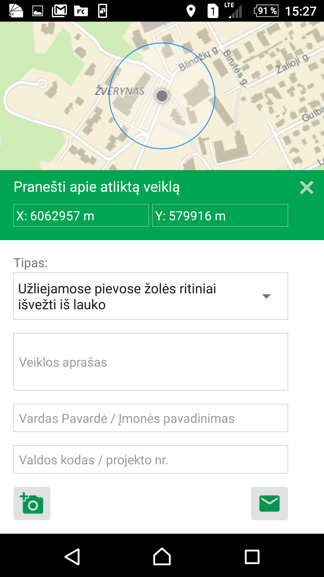
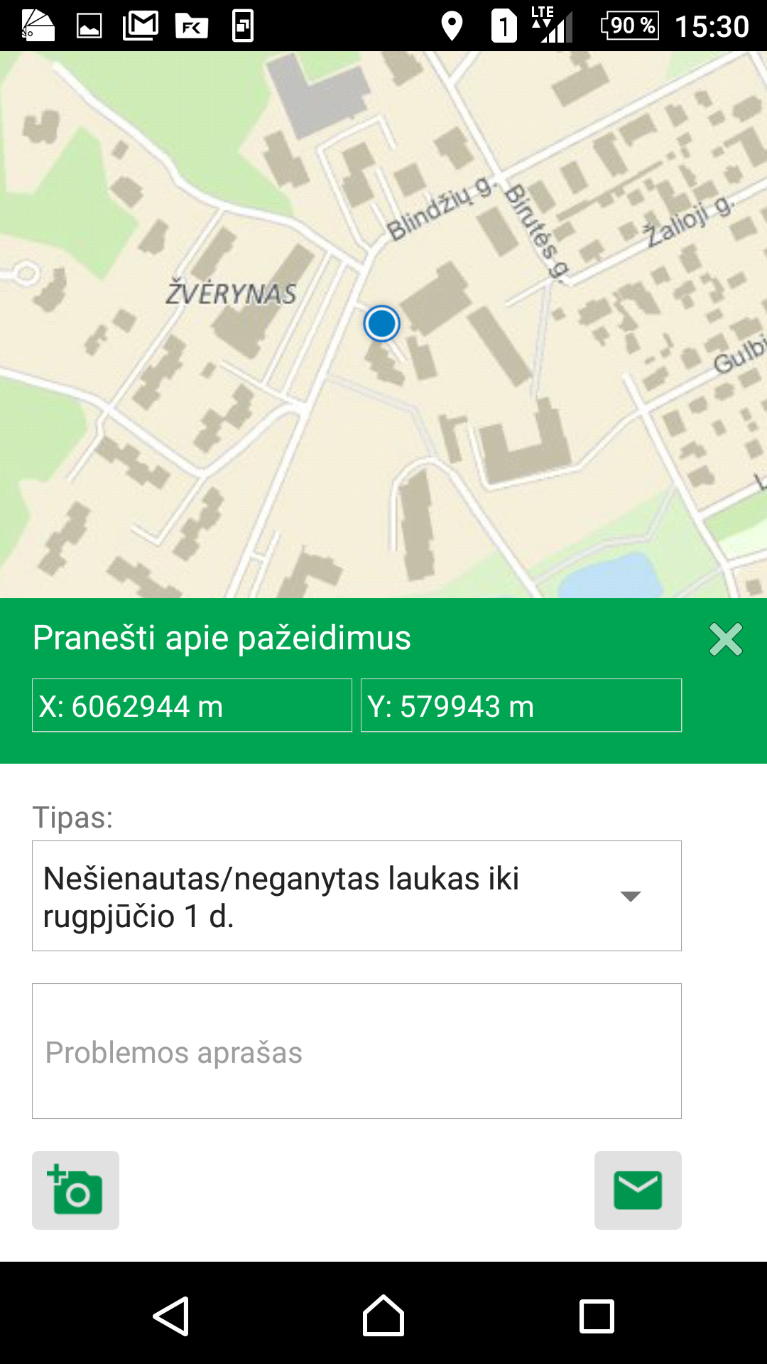
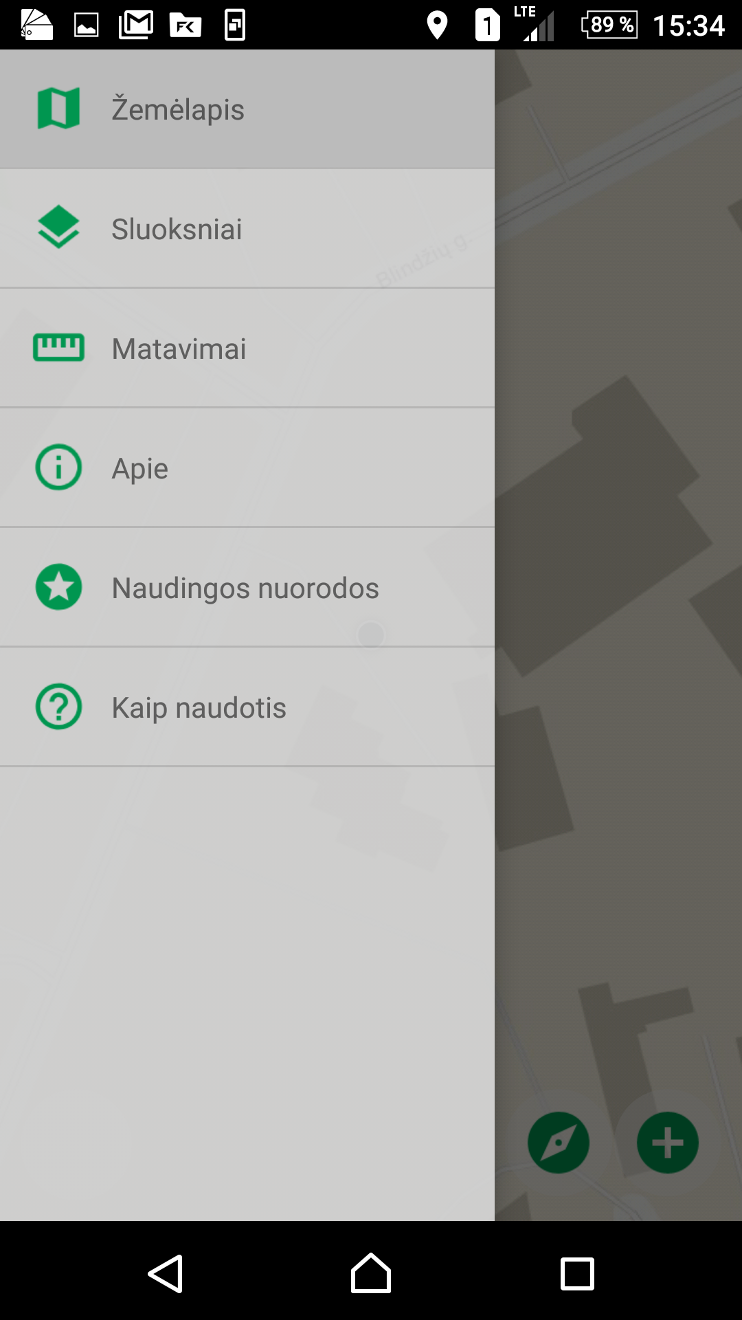
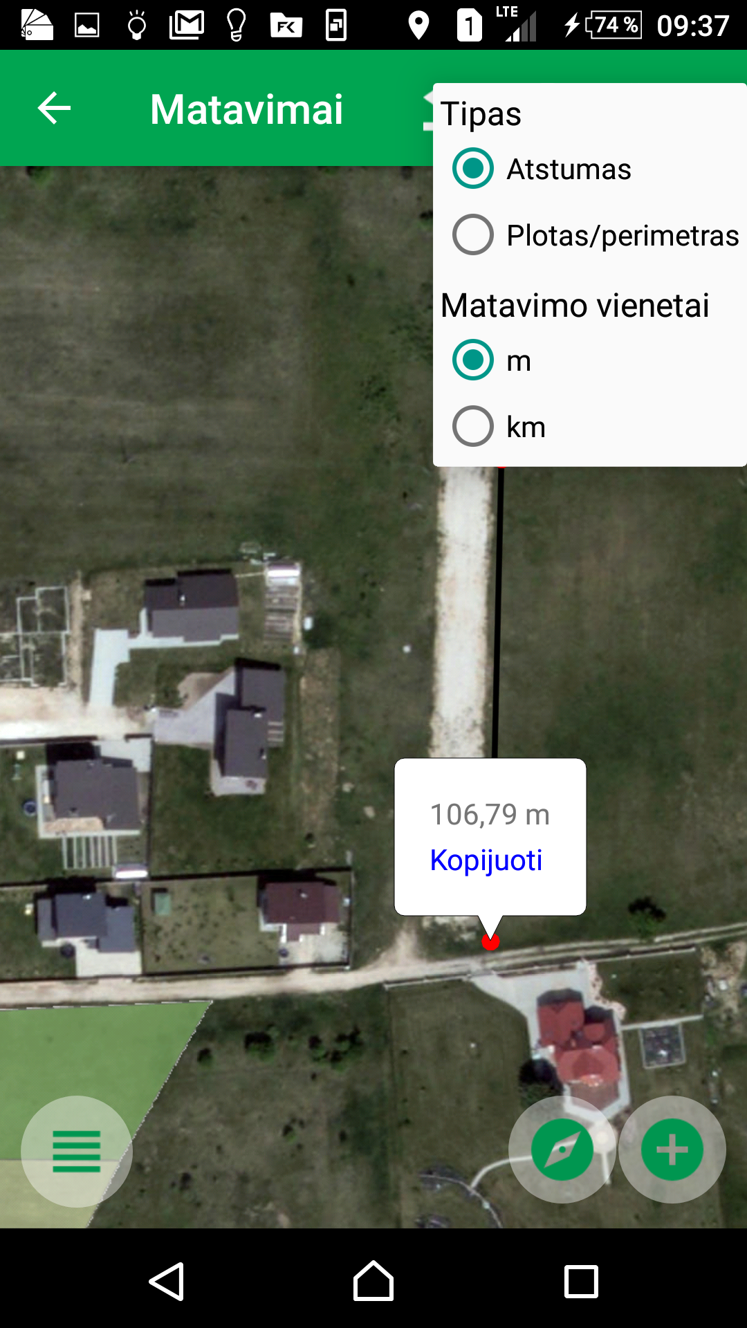
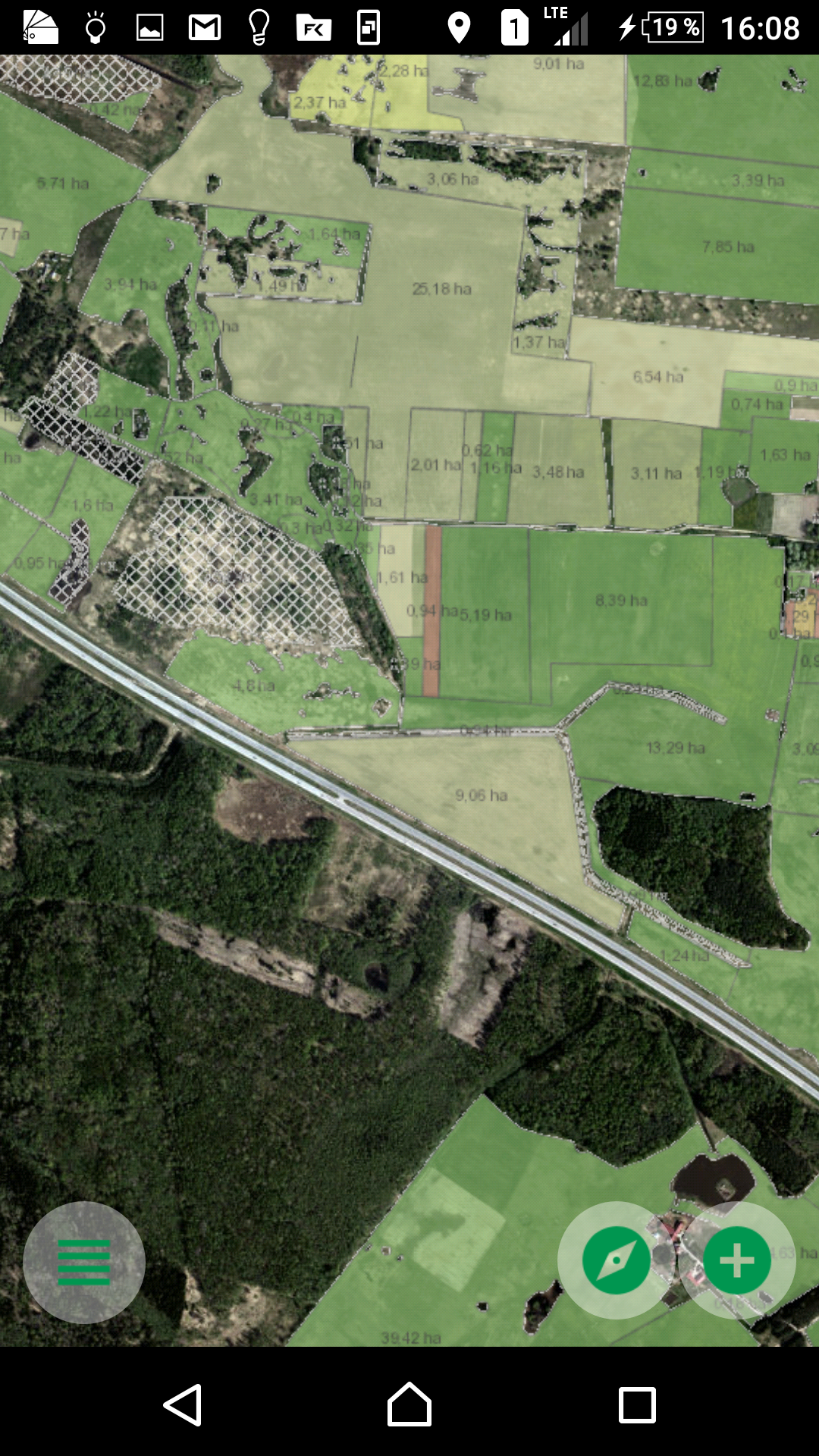
The NMA agro mobile app has a dual purpose. It is intended for farmers who wish to inform the Agency about the activities carried out on the fields, the investment projects they have implemented and the issues related to the commitments of the granted subsidies. In addition, using the mobile app, Lithuanian citizens can provide information about potentially abandoned fields. "NMA agro" transmits photos with precise coordinates (geotagged) and azimuth directly from the field, allows on-screen measurements of the distances and areas. The app includes Copernicus Sentinel satellite images, maps of different vegetation indexes, aerial imagery, boundaries of declared fields, helping farmers to monitor and evaluate the condition of crops grown on their fields and to perform necessary farm activities when needed. Satellite imagery and vegetation index maps are updated constantly during the main farming season. Mobile app is one of the component of an automated continuous field monitoring information system based on Sentinel satellite imagery. "NMA agro" is available free of charge at "Google Play" and "App store".
Countries
- Lithuania
Languages
- Lithuanian
Website
Cost
Free
License
Unknown
Categories
- Social media
- Radio, TV, Infographics
- Real time monitoring & Decision support
- E-applications & Regulations
Target groups
- Farmers/Cooperatives
Sectors
- Plant production in general
- Arable farming
- Post-harvest
- Farm-based added-value processes
Modes of delivery
- Mobile app
Source of data
- Manual input
- IoT installed devices
- Technical 3rd party services
- Administrative 3rd party services
Required ICT skills
Low
Benefits
- Increase of productivity
- Improvement of yield quality
- Optimization of resources use
- Environmental protection
Challenges addressed
- CAP management


