FAIRshare Dataset
AGRODATO
Agrodato2021
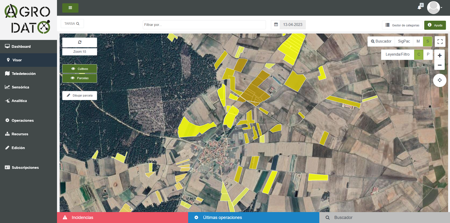
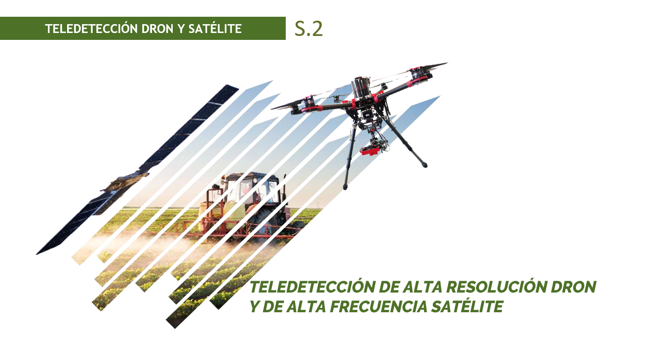
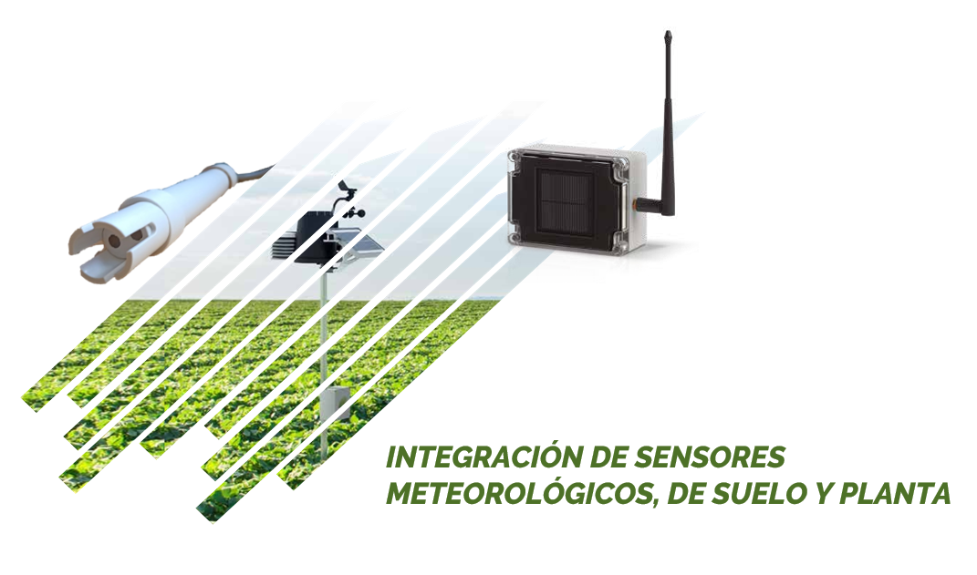
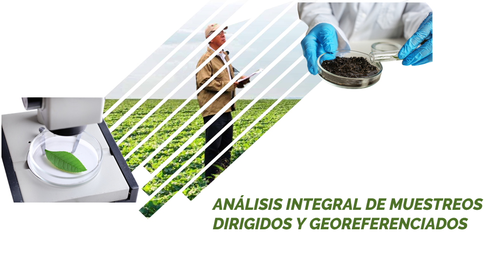
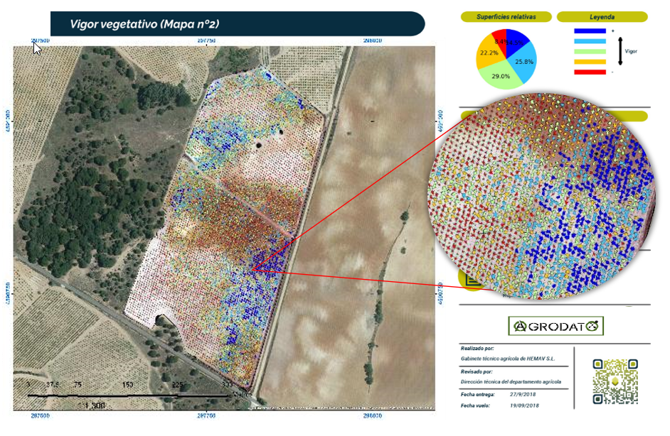
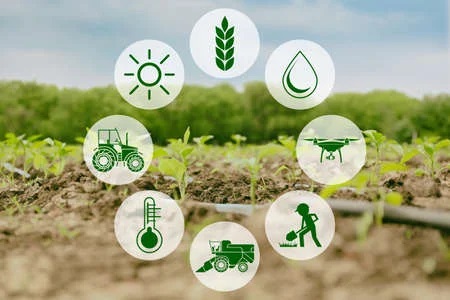
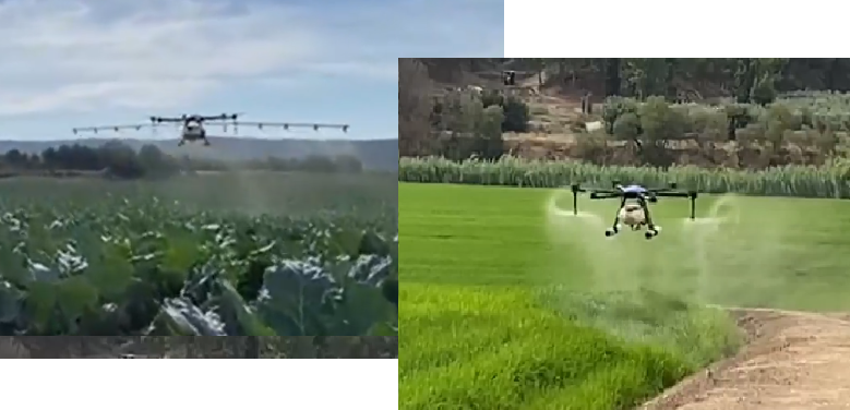
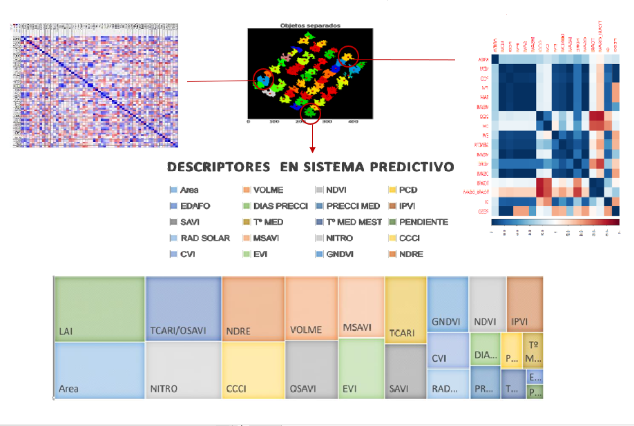
Agrodato is based on three pillars: Remote Sensing, Sensor´s data & targeted Analytics. AGRICULTURAL REMOTE SENSING By generation of vegetation indexes from satellite & high-resolution UAV images, we have information of photosynthetic, nutritional, hydric and health status of the crop, information that the naked eye is unable to see. This information is highly useful for crop assessments and improves decision-making. MONITORING BY SENSORS Implementation of weather stations, soil probes, dendrometers and real-time weighing devices, among others, to measure parameters of high agronomic value such as humidity, temperature, rainfall, wind, etc. The sensors network is located in pre-selected points following representativeness and variability criteria within the crops. Data is collected in the Software for real-time monitoring and representation. DATA ANALYSIS & PROCESSING Targeted and georeferenced sampling of soil, fruit, pests, leaf, etc. is made in the crop and extrapolated to the whole farm. With the integrated processing of multisource data, we achieve a complete technical-scientific diagnosis of the global state of the crop. AGRODATO´s workflow: 1.Data collection along the full crop productive cycle; study of photosynthetic activity using multispectral camera; chemical and biological analysis in the lab or through sensors on site. 2.Application of Artificial Intelligence for data processing. Algorithms development and cutting-edge data processing systems. 2.Technical advisory and action plans implementation through output interpretation. Following this process AGRODATO offers integral service making information accessible to all professionals involved in agricultural production and responsible for optimization of agricultural holdings. Developments are based on previous digitalization, zonation and thorough study of farms. Following works and reports are created: Digital Field notebook (agricultural operations management) Crop characterization: vegetative canopy, vigor (NDVI, LAI, ...) Maps & graphics for easy data integration & visualization Fertilization & irrigation plans (eco-sustainable) Yield & crop quality estimations Phytopathology alerts This powerful tool operates in all type of crops: linear, discontinuous and extensive crops and highly improves crop management to farmers having the benefits of high technification, production increase, efficient use of resources, sustainability, adapted to customer and early cost effectiveness.
Countries
- Spain
Languages
- Spanish
Website
Cost
Free basic version and premium fee-based version
License
Unknown
Categories
- Real time monitoring & Decision support
- E-mapping, Drawing
Target groups
- Farmers/Cooperatives
Sectors
- Arable farming
- Fruits and vines
- Vegetables
- Farm-based added-value processes
Modes of delivery
- Web app
- Mobile app
Source of data
- Manual input
- IoT installed devices
- Technical 3rd party services
Required ICT skills
Low
Benefits
- Increase of productivity
- Improvement of yield quality
- Optimization of resources use
- Environmental protection
Challenges addressed
- Plant protection management
- Water management
- Nutrition/Fertilisation management
- Compliance with legislation and standards
- Operational management focus
- Harvest prediction
- Sustainable food production and healthy diets